
The U.S. Forest Service is considering decommissioning and/or closing more than 30 miles of roads in the Olympic National Forest for environmental and cost concerns as soon as 2019.
Marc McHenry, fish biologist for the Forest Service, said staff with The Olympic National Forest anticipates receiving around $300,000 to decommission roads and/or close them to vehicles partly to increase water quality and protect spawning salmon and endangered butterflies in the Dungeness Watershed.
The plan stems from the Dungeness Watershed Roads Management project, which was adopted in 2016. In a letter sent to stakeholders in March, the acting district ranger Paula Jablonski said the Forest Service continues to analyze 33 roads to potentially decommission 16.12 miles of high risk or unneeded roads, close 13.89 mile of roads to public use, convert 1.41 miles of road to trail to benefit the Taylor’s Checkerspot butterfly, and relocate two trailheads.
An initial comment period ended April 17, but McHenry said the project is currently being reviewed for environmental analysis and a draft plan will be up for review in July or August.
The Dungeness’ watershed plan is third in line for roadwork, McHenry said, following the Calawah Focus Watershed and the Sitkum Priority Subwatershed, both about 10 miles east of Forks.
Roadways
McHenry said one of the pushes for the project is the fact that the Forest Service has about 2,000 miles of roadways in the Olympic National Forest with about 95 miles of road in the Dungeness and McDonald Creek Watershed zone and limited funding.
“Our maintenance budget is at about 25 percent of the amount we need for our roads,” he said.
“Sadly, that’s a trend that’s been around for 10 years and looking into the future it’s not getting any better.”
One example of the shortfall is that this spring forest service staff look to use an approximate $64,000 grant to resurface a portion of junction roads 2870 and 2880 that lead to the upper Dungeness Watershed. However, McHenry said in discussions with the Forest Service’s engineer they would need about $150,000 to fully treat the roadways.
So Forest Service staff with assistance from partner agencies continue to consider a more sustainable road system by looking at unneeded roads that have potential impacts on water quality and fish habitat, McHenry said.
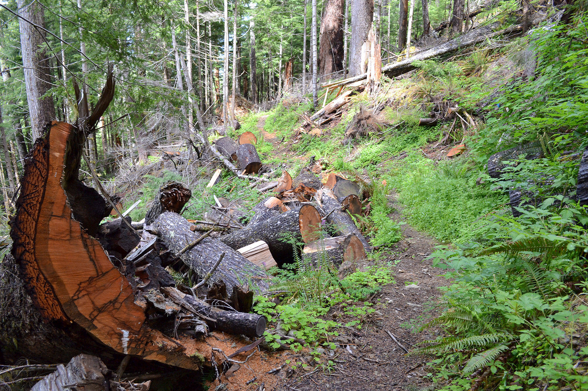
Staff say they are also running into continual issues of timber theft, trash dumping and resource abuse such as illegal shooting in the forest.
Traditionally when roads are decommissioned, culverts will be removed along with road fill at large stream crossings along with fill material that McHenry said should reduce the amount of sediment going into streams.
Roadways tentatively designated for decommission and/or closure were built and used for timber harvest from the 1930s-1980s but now are used only for recreation.
Butterflies and trails
A small portion of the proposed plan will convert 1.41 miles of roadway to trail near the Maynard Burn trail to help preserve the Taylor Checkered butterfly, which was listed as endangered in 2013 under the Endangered Species Act after the Dungeness Watershed Plan was first drafted in 2012.
The action plan also proposes moving the trailheads of Gold Creek and Silver Lakes.
McHenry said at Gold Creek, they’ll move the trailhead up to make it more accessible for stock trailers near Junction 2780 and spur road 230 because the lower half of the trailhead could be a potential spot for the roadway to slide out.
As for Silver Lakes between Blyn and Quilcene, he said its trailhead is not official and was created by trail users, which has led to overuse and worsening conditions. Its new trailhead will move about a mile away.
For more information on the project, email Dana Butler, project lead, at danabutler@fs.fed.us or visit https://www.fs.usda.gov/olympic to sign up for email alerts on the project.
Reach Matthew Nash at mnash@sequimgazette.com.

One of the reasons the U.S. Forest Service looks to close more than 30 miles of roads in the Olympic National Forest includes preventing abuse of natural resources like these trees that were shot by guns. Photo courtesy of the U.S. Forest Service

Photo courtesy of the U.S. Forest Service
